| Ecosystem |
West Bering Sea |
| Type |
Sea/Bay/Gulf |
| Salinity |
saltwater |
| Other Names |
|
| Location |
|
LME SAU No 53. From Kamchatka Peninsula to the EEZ boarder with Alaska. LME2002, LME2006, SAU 2008. |
64° N 52° N - 163° E 180° E |
|
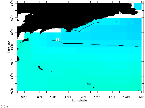
| Location Map |
West_Bering_Sea.png |
| Size Ref |
|
River Length |
|
Area |
759753 km2 |
Drainage Area |
|
|
| Depth |
|
Average Depth |
|
Max Depth |
|
Ref |
|
|
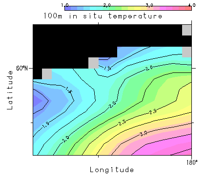
| Temperature |
|
| Description |
Off the northeast corner of the Commonwealth of Independent States (USSR) lies the West Bering Sea LME, defined as the deeper areas of the Bering Sea, to the west and south of the eastern continental shelf. Its bottom topography is characterized by the deep Aleutian basin, and the very cold Subarctic Current is its main hydrographic influence. Species harvested from the area include the walleye pollock, Pacific cod, flatfish, herring, and a variety of crab species and other crustaceans (http://www.na.nmfs.gov/lme/text/lme53.htm). |
| Comments on faunal list |
Area from SAU (November 2015). |
| URL 1 |
http://www.seaaroundus.org/lme/53.aspx |
| URL 2 |
|
| Ecosystem Checklist Link |
|
| Total |
|
Species |
Families |
Species |
Families |
Reference |
|
316 |
60 |
|
|
|
|