| Ecosystem |
Kuroshio Current |
| Type |
Sea/Bay/Gulf |
| Salinity |
saltwater |
| Other Names |
|
| Location |
|
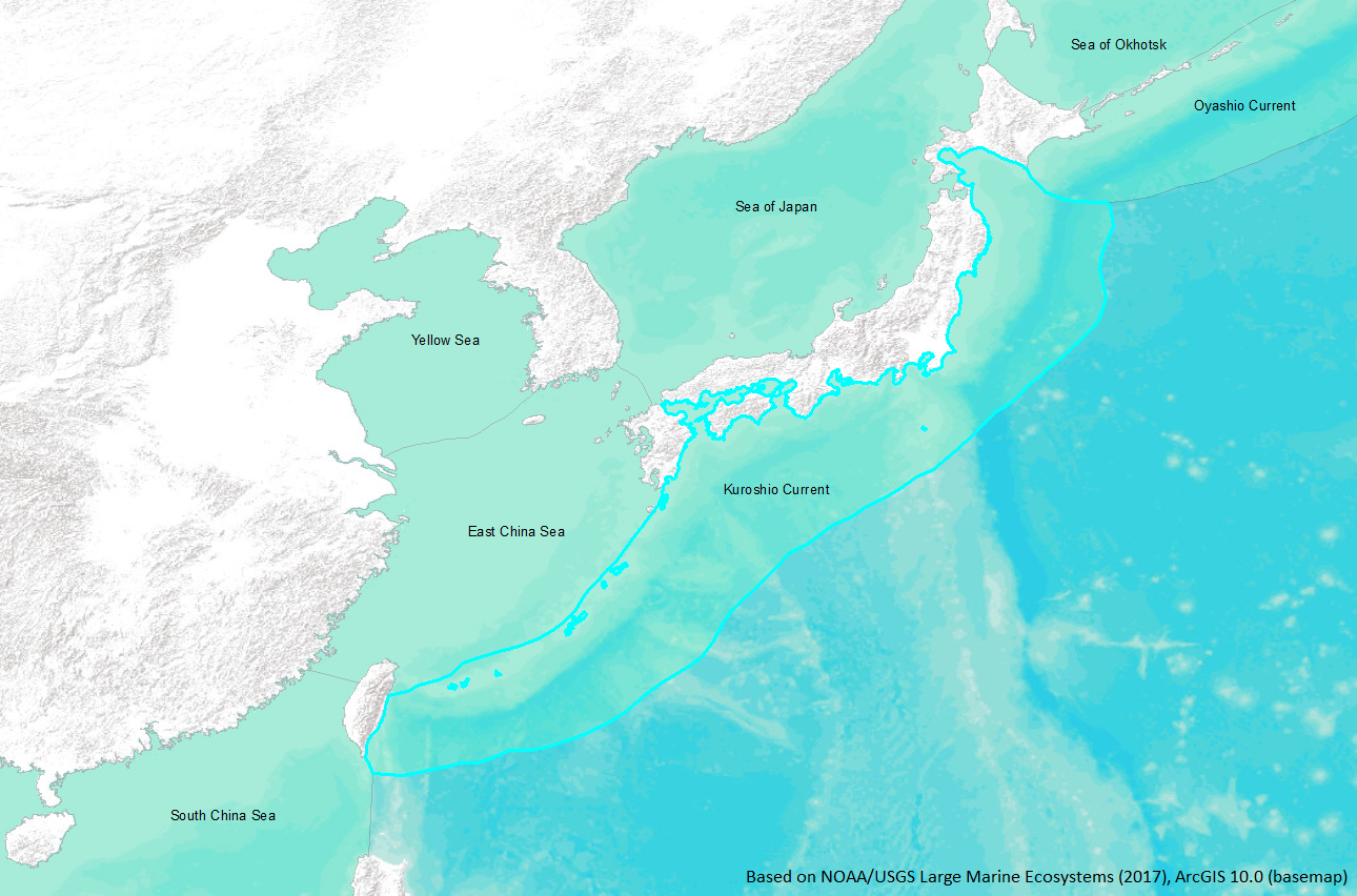
LME SAU No 49. Pacific coast from southern Hokkaido to northwestern Taiwan. LME2002, LME2006, SAU 2008. |
45° N 21° N - 130° E 141° E |
|
| Location Map |
Kuroshio_Current.png |
| Size Ref |
|
River Length |
|
Area |
1321400 km2 |
Drainage Area |
|
|
| Depth |
|
Average Depth |
|
Max Depth |
|
Ref |
|
|
| Temperature |
|
| Description |
The Kuroshio Current originates east of the Philippines and flows north to the southern east coast of Japan through the East China Sea. Its width is about 100 km, speed of 3-4 knots, and a volume transport of 30-60 x 106 tons.s-1 . There are five types of meanders for the Current, and the patterns cycle through four of the meanders two or three times a year. The large meanders are accompanied by large volume transport in the East China Sea, mean volume is 23.1 x 10⁶ tons.s-1 , and 20.3 x 10⁶ tons.s-1 during straight paths (Saiki, 1982). The average sea surface temperature over a 20 year period (1953-1972) in the Kuroshio warm current was 27-24°C (Sawara, 1974). Seasonal variations in temperature and nutrients were determined in Sagami Bay (northern Kuroshio Current) once a month from Jan 1971 to Dec 1973. The lowest temperature was observed March through April (14°C), and was almost uniform at a depth of 100 m or more, representing thorough mixing. The maximum temperature was reached in August to September (26°C) (http://www.na.nmfs.gov/lme/text/lme49.htm). |
| Comments on faunal list |
Area from SAU (November 2015). |
| URL 1 |
http://www.seaaroundus.org/lme/49.aspx |
| URL 2 |
|
| Ecosystem Checklist Link |
|
| Total |
|
Species |
Families |
Species |
Families |
Reference |
|
1412 |
248 |
|
|
|
|