| Description |
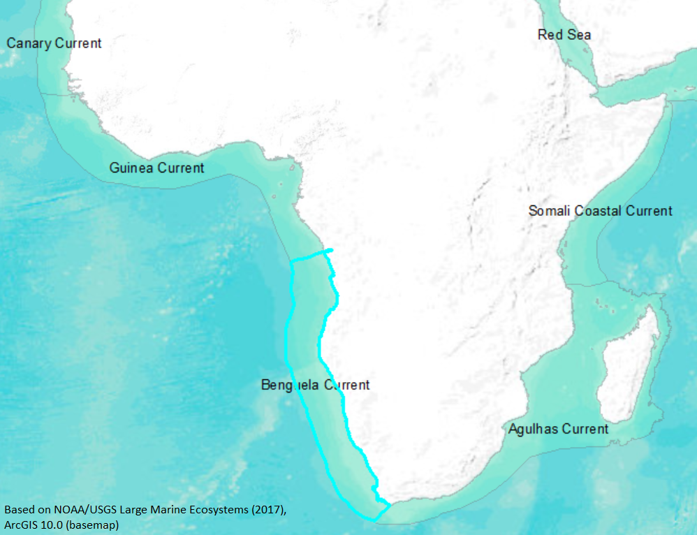
The Benguela current is a classic eastern ocean coastal upwelling system along southwestern Africa, with a narrow to moderate continental shelf and generally broad, diffuse, equatorward surface flow. (Wooster and Reid, 1963; Parrish et al., 1983) Where the shelf is narrow (near southern Angola) there is often vigorous upwelling, which extends from September to March south of 31 degrees S, when southerly winds predominate (Nelson and Hutchings, 1993; Shannon, 1985). The Benguela Current system may possess the strongest sustained locally wind-driven coastal upwelling of any region in the world, with the Luderitz upwelling (18 degrees S), the principal upwelling center, generating 2.5 times the total volume of upwelled water per length of coastline as the Cape Mendocino system (LME No. 3), and additional upwelling cores in the vicinity of Cape Frio and Cape Columbine. The water column is most stratified during the summer in the extreme north of the LME and to a lesser degree near the ocean front, at approximately the shelf break. Winter storms can mix the entire water column over the Eastern Agulhas Bank, resulting in maximum nutrient supplies there. (Shannon, 1985; Parrish et al., 1988; Bakun, 1993) The Benguela Current system has two sources of warm water, one at each end of the upwelling region. The confluence of the warm Indian Ocean surface water from the nearby Agulhas Current (from the other side of the tip of the African continent) and the cooler, more dense Benguela Current forms a protected stable layer at depth, which appears to provide a protected spawning area for the northern sardine and anchovy populations. (Bakun, 1993; Shelton et al. 1985; Parrish et al. 1983; Darbyshire, 1966; Shelton and Hutchings, 1990; Carter et al., 1987; and Largier and Swart, 1987).
Interannual warm and cool events of varying intensities affect the this LME. Two events during the last 50 years, occurring in 1963 and 1984, involved major southward intrusions of warm, highly saline tropical waters into the northern Benguela region that appear to be similar in nature (if not frequency) to Pacific Ocean ENSOs. Other warm events appear to be caused by influxes of the warmer Indian Ocean from the southern portion of the system, possibly driven by local wind effects. (Bakun, 1993; McLain et al., 1985; Walker, 1987; DeRuiter, 1982; and DeRuiter and Boudra, 1985). Like LMEs 3 and 14, this system exhibits a combination of three general factors associated with favorable reproductive habitat for anchovies and sardines, including: enrichment of the food web by physical processes (e.g., upwelling, mixing); opportunity for concentrated patch structure of food particles (e.g., lack of turbulent mixing and/or convergence in frontal structures); and the availability of mechanisms that promote retention of larvae within or transport larvae to appropriate habitat. The three factors combine favorably only in special configurations, as otherwise turbulence, mixing, or Ekman transport disperse larvae away from the food source. (Bakun, 1993) (http://www.na.nmfs.gov/lme/text/lme29.htm). |